
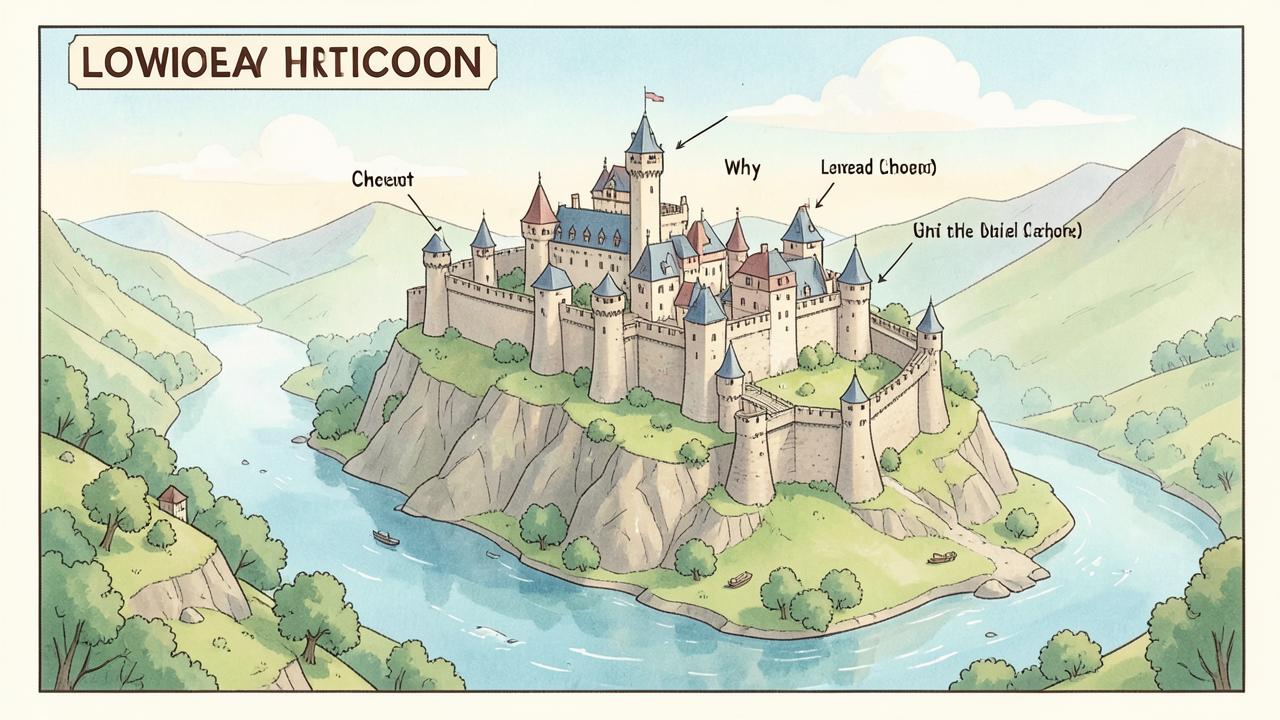
Strategic choke points
The location of a medieval castle was never a matter of chance; it was a carefully calculated decision based on the need to control the landscape. Builders sought out 'choke points'—places where the movement of people, goods, and armies was naturally restricted. This often meant building on high ground to provide a clear view of the surrounding territory, or at river crossings, harbours, and narrow mountain passes. By controlling these key locations, a small garrison of soldiers could dominate an entire region, collecting taxes from traders and preventing enemy forces from moving through the land. A castle was not just a defensive bunker; it was a powerful tool of government and economic control that allowed a lord to project his authority far beyond the castle walls.
The Norman Conquest and the Motte
Following the Battle of Hastings in 1066, William the Conqueror and his Norman lords had to secure their control over a hostile English population. They did this through a massive building programme of 'motte-and-bailey' castles. These were relatively simple structures that could be built quickly using local timber and earth. The 'motte' was a large, man-made mound of earth with a wooden tower on top, providing a safe lookout and a final point of defence. Below it was the 'bailey', a fenced-off courtyard where soldiers and livestock lived. These castles were often built in or near existing Anglo-Saxon towns to serve as a visible and intimidating reminder of the new Norman power. Over time, many of these wooden structures were replaced with the massive stone keeps that we recognise today.
The evolution of defences
As siege technology improved, so did the design of castles. By the late 12th and 13th centuries, the simple motte-and-bailey had evolved into the 'concentric' castle, a design that used multiple rings of walls, one inside the other. This meant that if attackers breached the outer wall, they were still trapped in a 'killing zone' between the walls, vulnerable to fire from the higher inner wall. The introduction of round towers replaced square ones, as they had no corners for attackers to mine and provided a better field of fire for archers. The ultimate examples of this were the 'Iron Ring' of castles built by Edward I in North Wales, such as Conwy and Beaumaris, which were designed to be virtually impregnable and to be supplied by sea during a siege.
Evidence and the historian's task
Historians study castle locations by combining geographical surveys, archaeological excavations, and historical documents such as royal building accounts and 'Inquisitions Post Mortem', which record the value and condition of a lord's property after his death. Maps are an essential tool, allowing historians to see how a chain of castles worked together to protect a border or control a trade route. However, a major challenge is that many castles were modified over centuries, or were deliberately 'slighted' (destroyed) during the English Civil War, meaning that the original purpose of a site can be obscured by later changes. By carefully 'reading' the landscape and the remaining stonework, historians can reconstruct the strategic thinking of medieval engineers and understand how they adapted their designs to the specific challenges of their environment.