
← Project Studio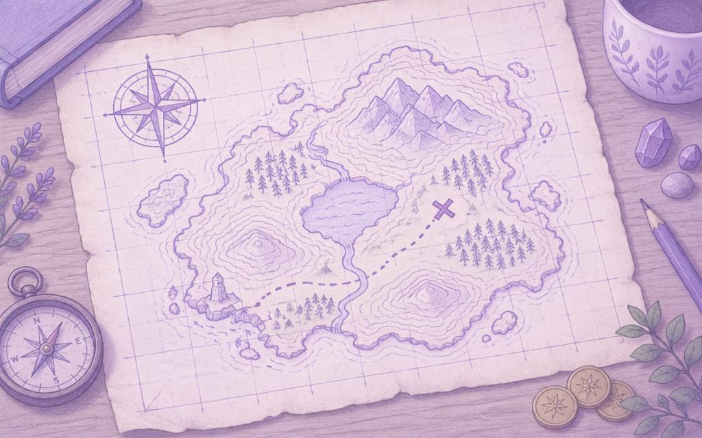
GeographyYears 7, 8About 4 sessions (estimate, no timer)
The Secret Cartographer
Design a clue trail that someone can solve using nothing but a map.
What you'll make
A treasure map or desk-based route, a set of precise clues, a distance calculation and a route-choice explanation.
What you'll learn
- Scale and measuring distance
- Compass direction and map symbols
- Contour lines and height
- Four- and six-figure grid references — and how they differ from latitude and longitude
You'll need
Printed OS extract or library OS Explorer map (optional) · Ruler, string, paper
The practice map is INVENTED. For real map work, use a genuine OS extract under its licence. Every activity here uses buttons and typing, not dragging.
Curriculum links
- Build on knowledge of globes, maps and atlases and apply and develop this knowledge routinely in the classroom and in the field
- Interpret Ordnance Survey maps, including using grid references, scale, topographical and other thematic mapping, and aerial and satellite photographs
You're not signed in, so work saves on this device only.