
← Project Studio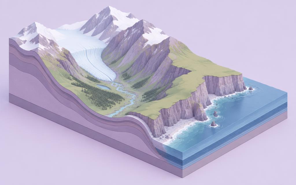
GeographyYears 8, 9About 6 sessions (estimate, no timer)A parent checks the finished piece
The Landscape Design Studio
Reconstruct how ice and the sea have shaped two British landscapes.
What you'll make
Layered card cross-sections, a change-over-time storyboard and a field-guide explanation.
What you'll learn
- Glacial erosion (plucking, abrasion) and landforms: corries, arêtes, U-shaped valleys
- Coastal erosion, transport (longshore drift) and deposition
- Reading maps and images as evidence
You'll need
Card, scissors, colours · No cliff or beach visit needed
Glaciation and coasts are two separate strands. Each is recorded on its own, so finishing one doesn't mark the other complete.
Curriculum links
- Understand rivers, coasts and glaciation and the physical processes that give rise to landscapes, and how they change over time
- Understand how geographical processes interact to create distinctive human and physical landscapes that change over time
- Interpret Ordnance Survey maps, including using grid references, scale, topographical and other thematic mapping, and aerial and satellite photographs
You're not signed in, so work saves on this device only.